Technology

The clients we work for are constantly innovating new ideas to make their businesses more efficient. As a company that services them, it’s important that we are, too. That’s why we’ve implemented a unique technology designed to efficiently manage and share project data in real time, allowing for simple, sophisticated, and compliant solutions.

An interactive portal for multidisciplinary project data!

VISUAL DATA PORTAL (VDP)

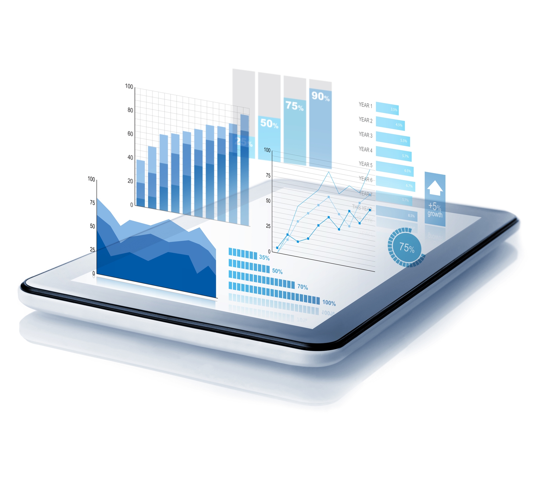
Our Visual Data Portal (VDP) leverages GIS technologies to visually display project data in an intuitive way. This easy to use, interactive portal allows for centralized information that provides up-to-date status and progress reporting for our clients and their projects.

VDP deployments are a value-add, and our internal teams already use these technologies to gain key insights into project data and to manage it effectively. This solution provides greater transparency, aids in teams’ understanding project milestones, helps to develop project schedules, provides project progress information and does so for multiple tiers of our clients’ project teams.

Some of the key features include:

  • Centralized data, reports, and status updates
  • Visually represent project progress and data
  • Helps reduce risk of non-compliance
  • Continuously updated in near real-time
  • Eliminates the need for physical reports
  • Highly secure through tiered permissions
  • Ability to integrate multidisciplinary data
VDP DEMO VIDEOS
Route Selection Video
Land Clearance Video
FOCUS LAND MANAGEMENT SOFTWARE

After spending years using off the shelf land management software solutions that provided zero flexibility and customization, our team set out and built our own. We use FOCUS exclusively on all of our clients’ projects, which allows us to better manage project data and intricacies.

FOCUS is a relational database designed to allow us to efficiently store, organize, and manage all project specific data, as well as generate reporting that is in line with each specific client and their project needs.

Some of the key features include:

  • Scalable, customizable, agile, and adaptable
  • Project specific data tracking and reporting
  • Relational database allows for rapid updates across entire projects
  • Highly secure
  • Integrates with other software
  • Easy to use
  • Real-time updates
  • Direct integration between all disciplines in-house
  • Removes manual and repetitive data entry
  • Web-based program
  • Mobile application available
  • Full integration with MS Office

Land management software that works!

Your project is at your fingertips.

GIS SERVICES

Our innovative technology allows for GIS integration with project files, providing useful data for route planning, quick access to stakeholder identification and details, and allows for visual representation of acquisition, consultation, and application status – a truly innovative project management tool.

Our GIS team brings more than 40 years of experience taking client data and adding the spatial context and presentation necessary for teams to make informed decisions. Some of our standard GIS services include:

  • Optimal route and site selection
  • Constraints mapping
  • Crossing and proximity analysis
  • Mapping
  • Data management
  • Quality control
  • Mass title pulls
  • Dashboard reporting

Interested in working together? Contact us to chat!